
DSN AI BOOTCAMP 2026 / NIGERIA
GeoSpatialsEvery place.
A clearer picture.
Nigeria, in evidence.
Discover the connections shaping Nigeria’s digital future. Explore the measured places, the unanswered questions and the evidence behind every priority.
Preview the two-page submissionIncludes the latest registered team namesChoose a destination. Explore at your own pace.
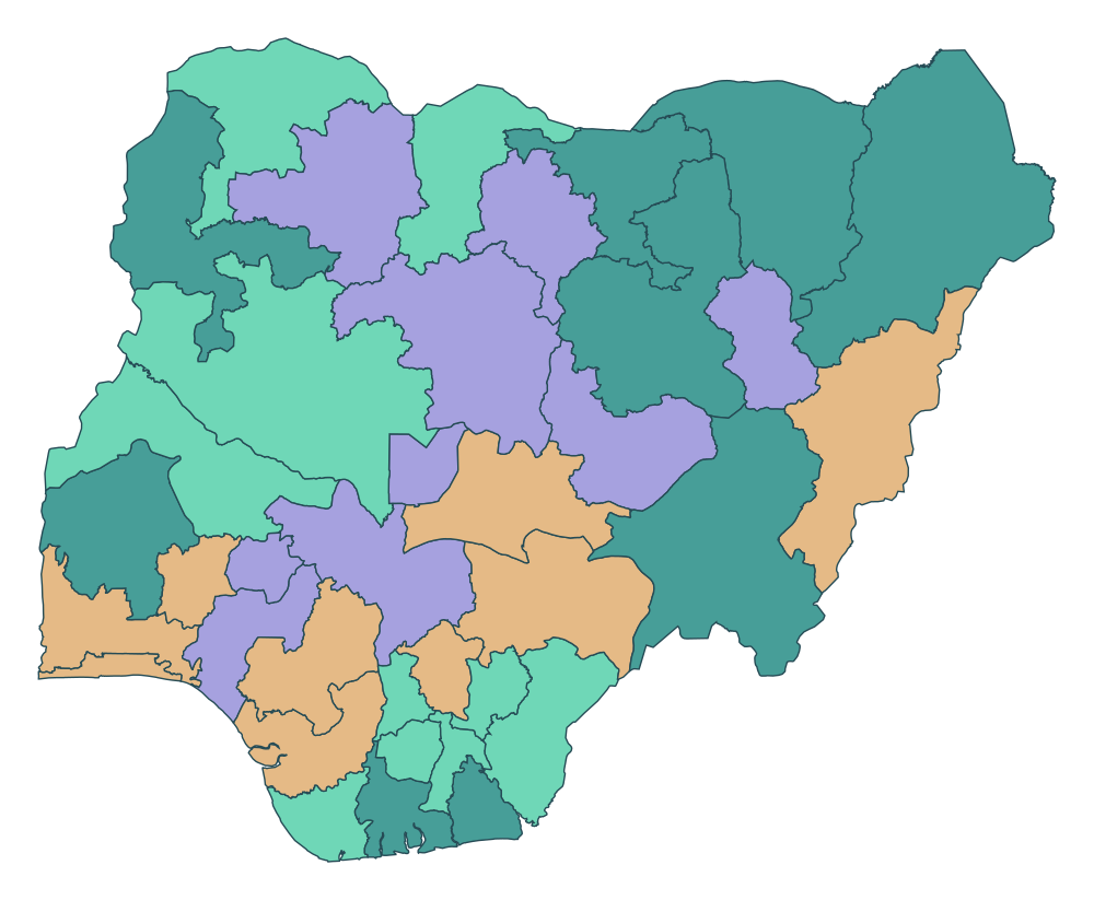
A geographic overview.
Open the atlas to explore the measured evidence.
01 — 774
Explore. Understand.
Question the evidence.
Explore the interactive map, follow three findings and inspect the evidence behind every priority.
Explore the atlas
Move between 3D, flat and dot views. Select a place and discover its neighbours.
Open the map 02Follow the findings
Explore observed connectivity patterns and the actions they suggest.
Read the findings 03Sources & explanations
Inspect sources, score explanations, sample rules and limitations.
Trace the methodsA reason to look closer.
Read all three findings and recommendations ↗Where should better
connectivity begin?
Which communities have poor internet connectivity relative to their population, settlement characteristics and socioeconomic needs? We combine the supplied Ookla extract with WorldPop population and NBS poverty context to guide two actions: investigate measured performance, or commission better measurements where evidence is thin.
Meet GeoSparkNG.
A shared exploration of Nigeria’s digital landscape.